
GPS tracking is one of the most powerful tools we have to help you finally get answers, and we use it the right way, legally, discreetly, and with your best interests guiding every step.
5 Tips From Our Investigators
-
Trust your instincts, then get the facts to back them up
Do not confront anyone until you have documentation in hand
Stay off their phone and devices, let a professional handle the evidence
Keep a personal log of dates, times, and anything that feels off
You do not have to figure this out alone, call and ask questions
We Know This Corridor and We Know How to Work It
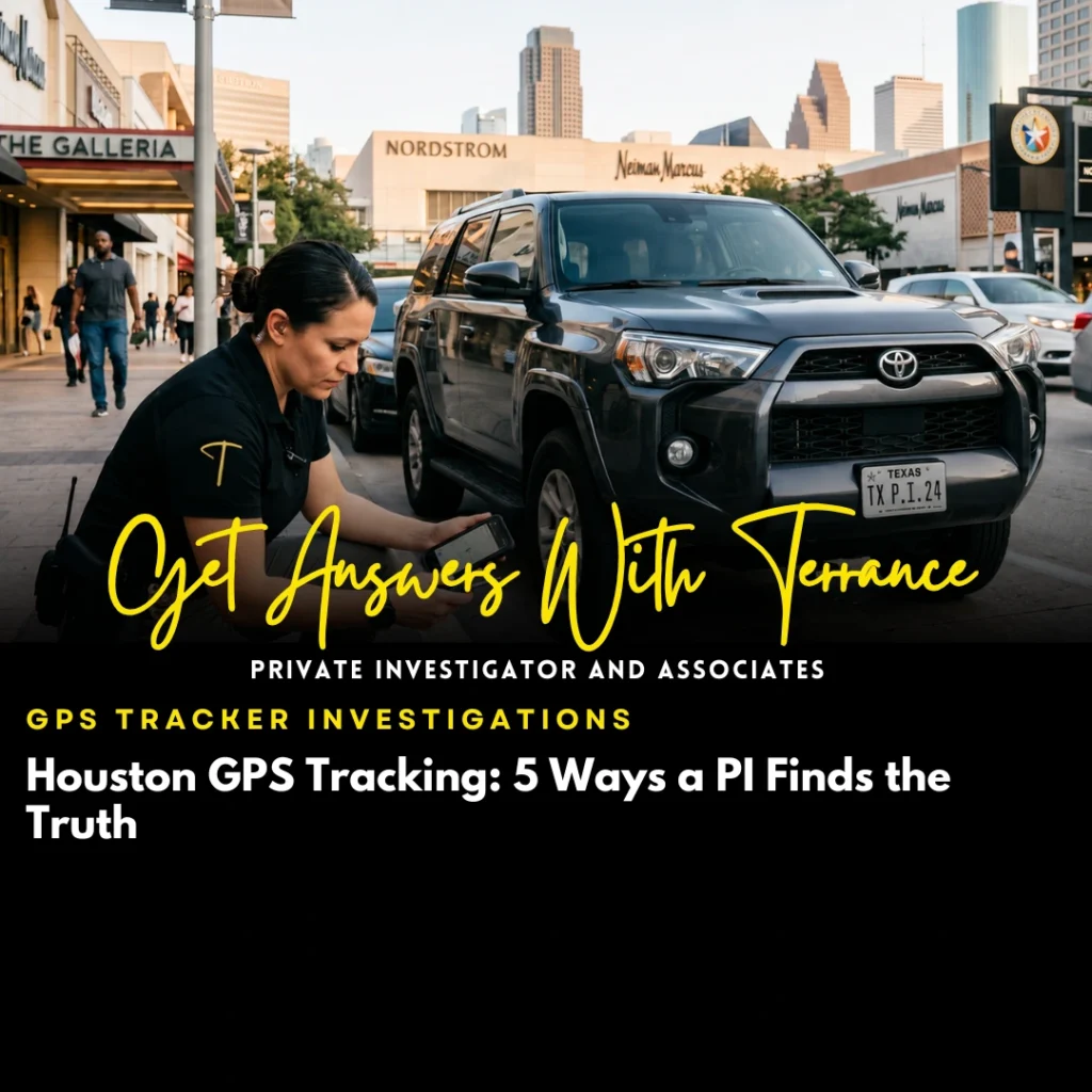
The Galleria area is one of Houston’s most commercially active zones. Between the shopping, the hotels, the corporate offices, and the residential towers, it is a place where people come and go constantly, and where assets, vehicles, and people connected to civil matters can blend right in.
We know this part of the city well. Our investigators are familiar with the movement patterns, the traffic corridors, and the landmarks from Post Oak Boulevard to the West Loop, from Westheimer to San Felipe. That local knowledge makes a difference when you are trying to track something down quickly and quietly.
Licensed, Local, and Built Around Your Case
We are a licensed Houston-based private investigation firm, led by principal investigator Terrance J. Sanders. Every GPS investigation we conduct follows Texas law, which means we only track vehicles where legal tracking authority exists. We walk our clients through that clearly before anything is placed.
From there, our process is straightforward. We conduct a consultation to understand your situation. We identify the vehicles and locations relevant to your case. We deploy legally compliant tracking equipment. We monitor, document, and compile your results into a clean, organized report. You get the facts, presented clearly, without the noise.
We also pair GPS tracking with additional surveillance tools when a case calls for it. Physical surveillance, background checks, and asset searches often work alongside location data to build a full picture of what is actually happening.